Equinox Walk
St Catherine’s Brook Equinox Pilgrimage Walk - March 20th 2026
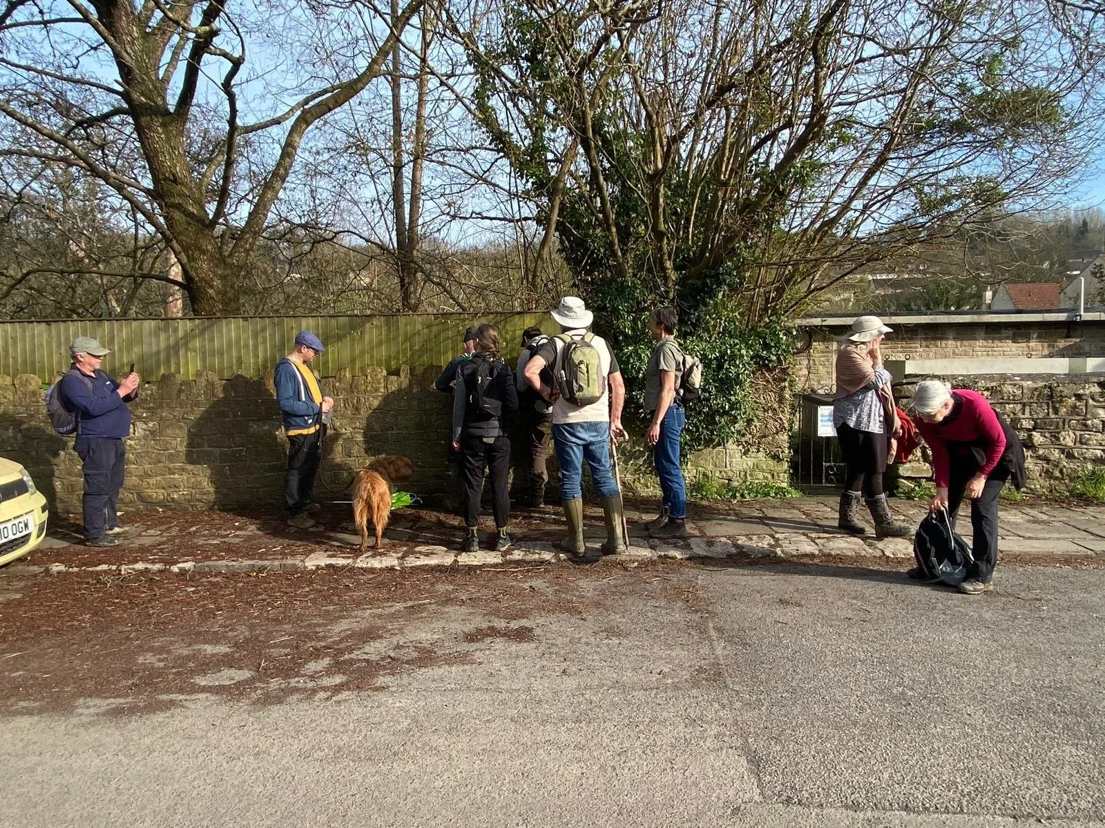
On a beautiful clear day a group of eleven pilgrims and a dog set off from Marshfield to celebrate the Spring Equinox of 2026 by walking from the source of St Catherine’s Brook near Marshfield to Batheaston where it enters the (Bristol) Avon. The idea was inspired by the campaigning group We are Avon who encouraged River Guardian groups in their network to hold events to raise awareness about their campaign to improve and clean up the River Avon. The peacefulness of the valley and its waterways belied the existence of its industrial past when, as well as market gardens and small farms, paper, wheat and other mills would have added to the working population .
The Grow Batheaston River Care group thought it would be a good opportunity to bring people together, to become more familiar with the Brook and its catchment and to start work towards improving the health of the stream and its environs for the benefit of all. St Catherine’s Brook flows into the River Avon at Batheaston, providing a focus for local community activities to improve part of the Avon catchment.
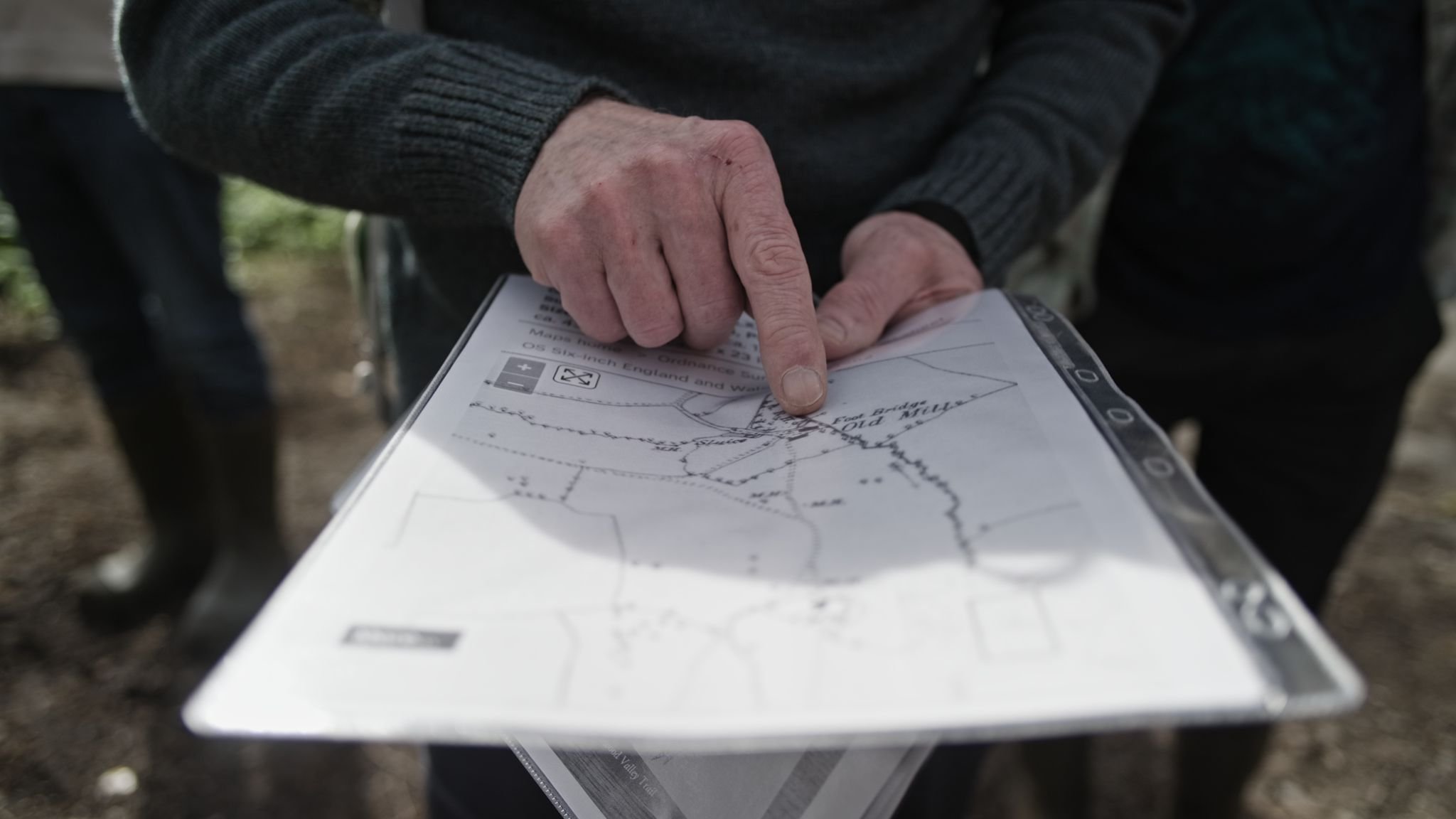
Leader of the group, Bill Martin, brought a range of information including maps and details of historic features (fresh from Bath Records Office). This was augmented by Ian’s knowledge (Ian lives in Marshfield and works for the National Trust) and of course Aleks had brought his camera equipment to record the event.
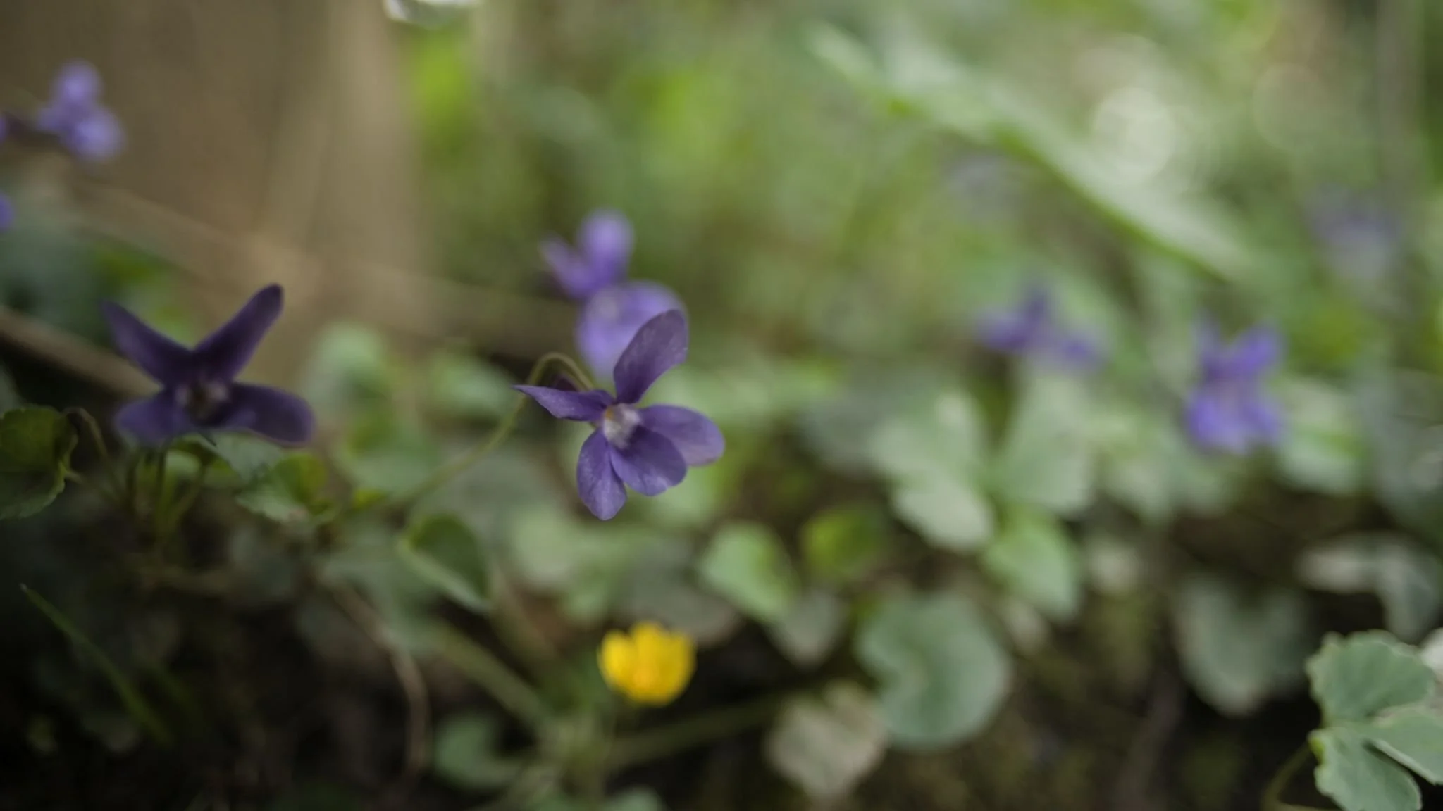
We entered St Catherine’s valley from the footpath at the end of Green Lane. Members of Sustainable Marshfield shared their knowledge about the landscape, its geology, flora and the local landowners. As we descended the valley we saw lots of primroses, violets, a buzzard being mobbed by corvids and the start of many large ‘treasure chest’ like structures in the valley installed by Wessex Water over springs.
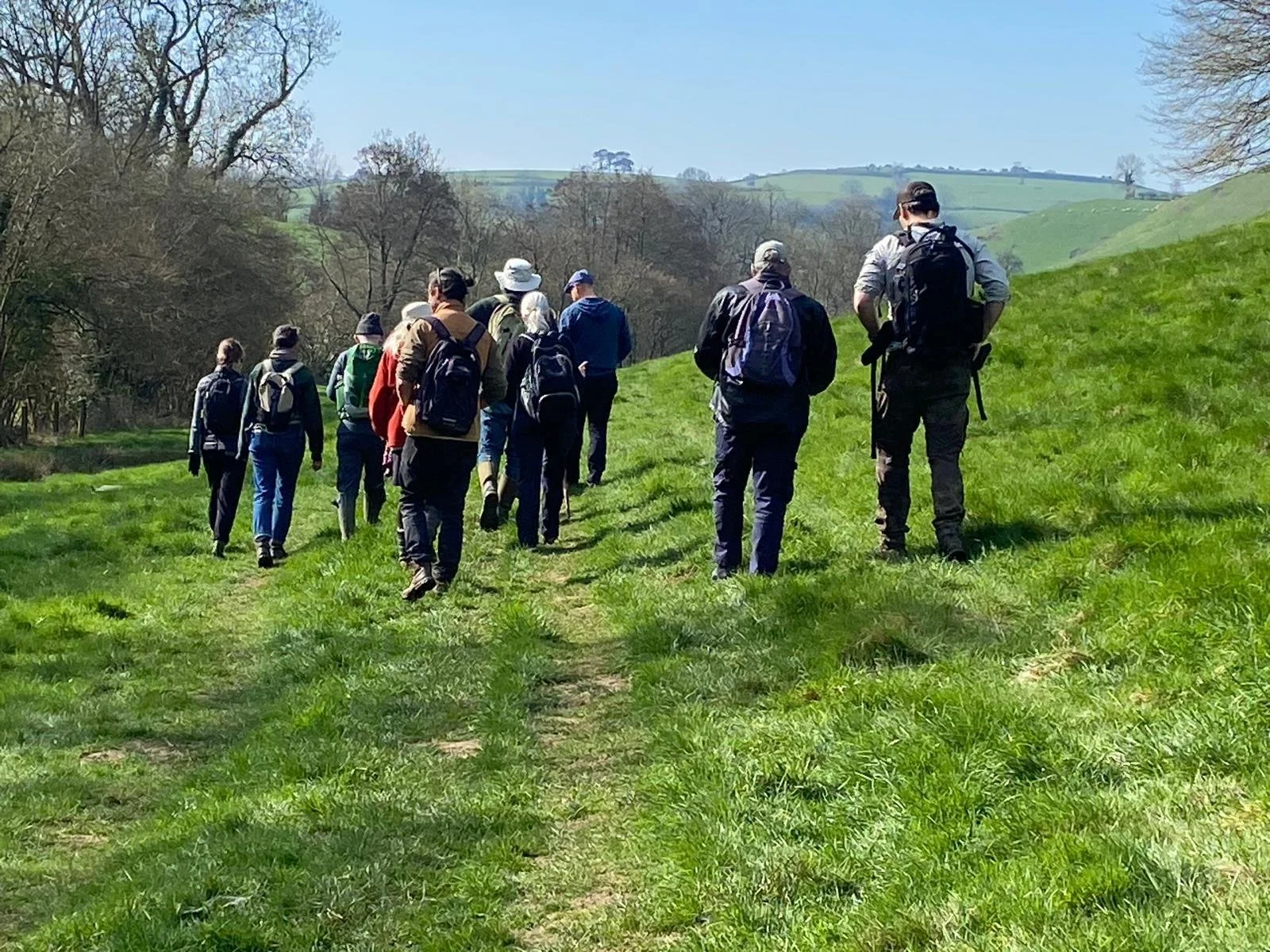
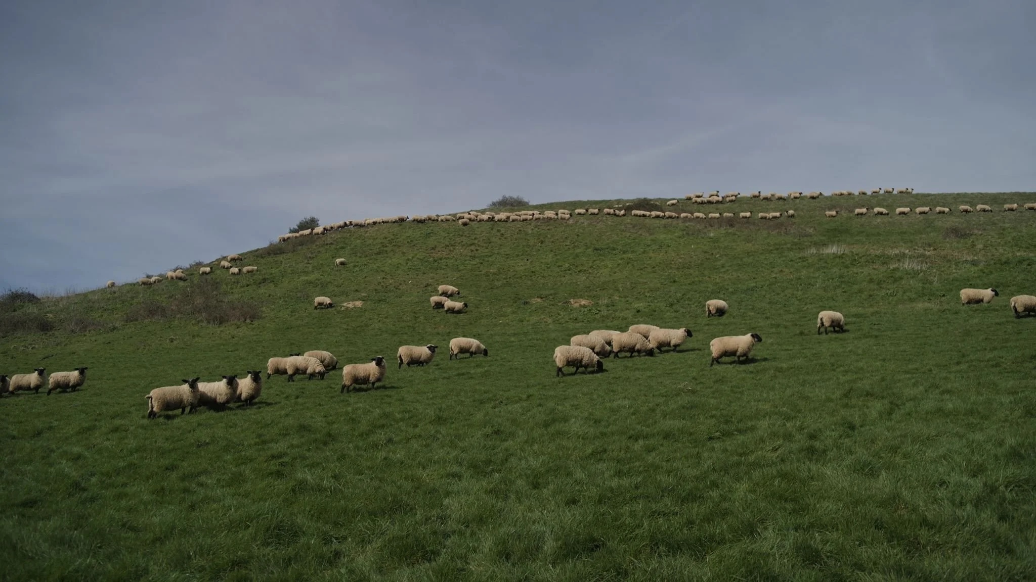
There were tadpoles in a pool in the upper reaches of the brook, caddis fly larva in an old cattle trough in the stream bed and fossil beds with ammonites and belemnites. As the footpath left the brook and continued half way up the valley Ian pointed out the entrances of a badger sett and shared film of the badgers that lived there. We saw the mining efforts of solitary bees in bare earth along the footpath and passed a large herd of black faced sheep. The tree lined brook flows through a valley which is predominantly pasture for sheep and cattle with wooded upper hillsides. We also saw some strip lynchets and evidence of solifluction (a ‘rippling’ effect on steep slopes).
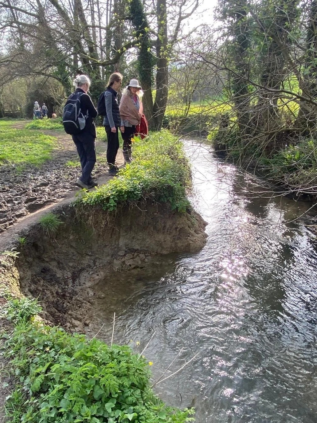
We stopped for a break beneath trees amongst the remains of an old mill, one of many, powered by the stream that came down a steep sided valley from Cold Ashton. We wondered whether there had been more water in the valley in the past (even allowing for the amount extracted by Wessex Water for Bath residents). As we continued on the footpath Ed (who lives near St. Catherine’s Court) was able to pass on his knowledge of the valley, describing abandoned buildings, ghost ponds and stories about current and past landowners and farmers. We joined the road for a short section and passed Monkswood Reservoir which surprisingly is no longer used for water extraction but by anglers. The Monkswood stream diverts past it. We took a bridle path to where this stream joins the main brook. Bill took his first water sample of the day in a location suggested by BART (Bristol Avon Rivers Trust) for regular testing. The bank was stained brown on a stream below Nailey farm, possibly due to the geology or possibly pollution.
The stream was a little cloudy throughout its length but Ian informed us that Fullers earth in the catchment produced a very fine silt for the stream to carry so the water was unlikely to be as clear as a chalk stream and there was little vegetation, despite there once being brown trout in this section of the Brook.
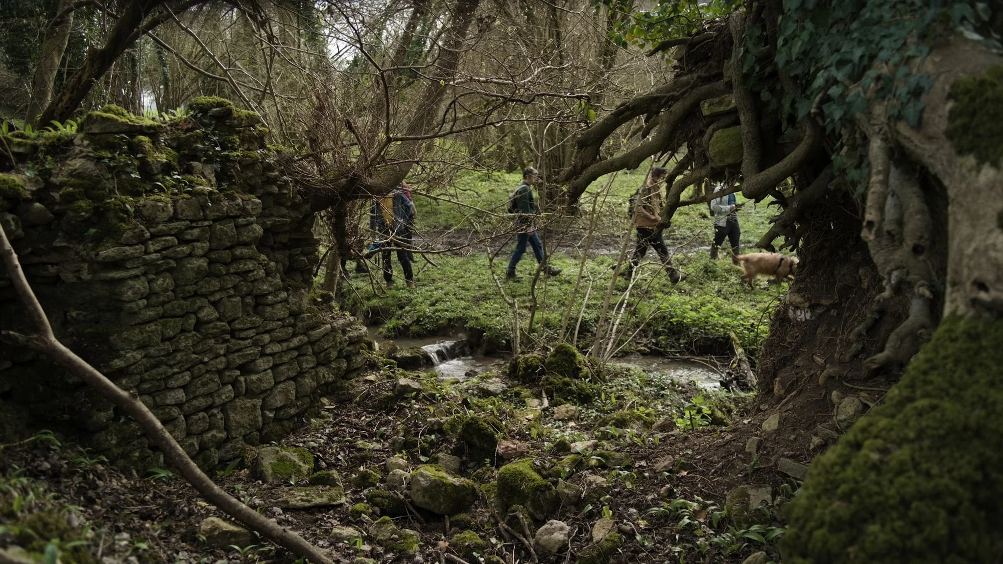
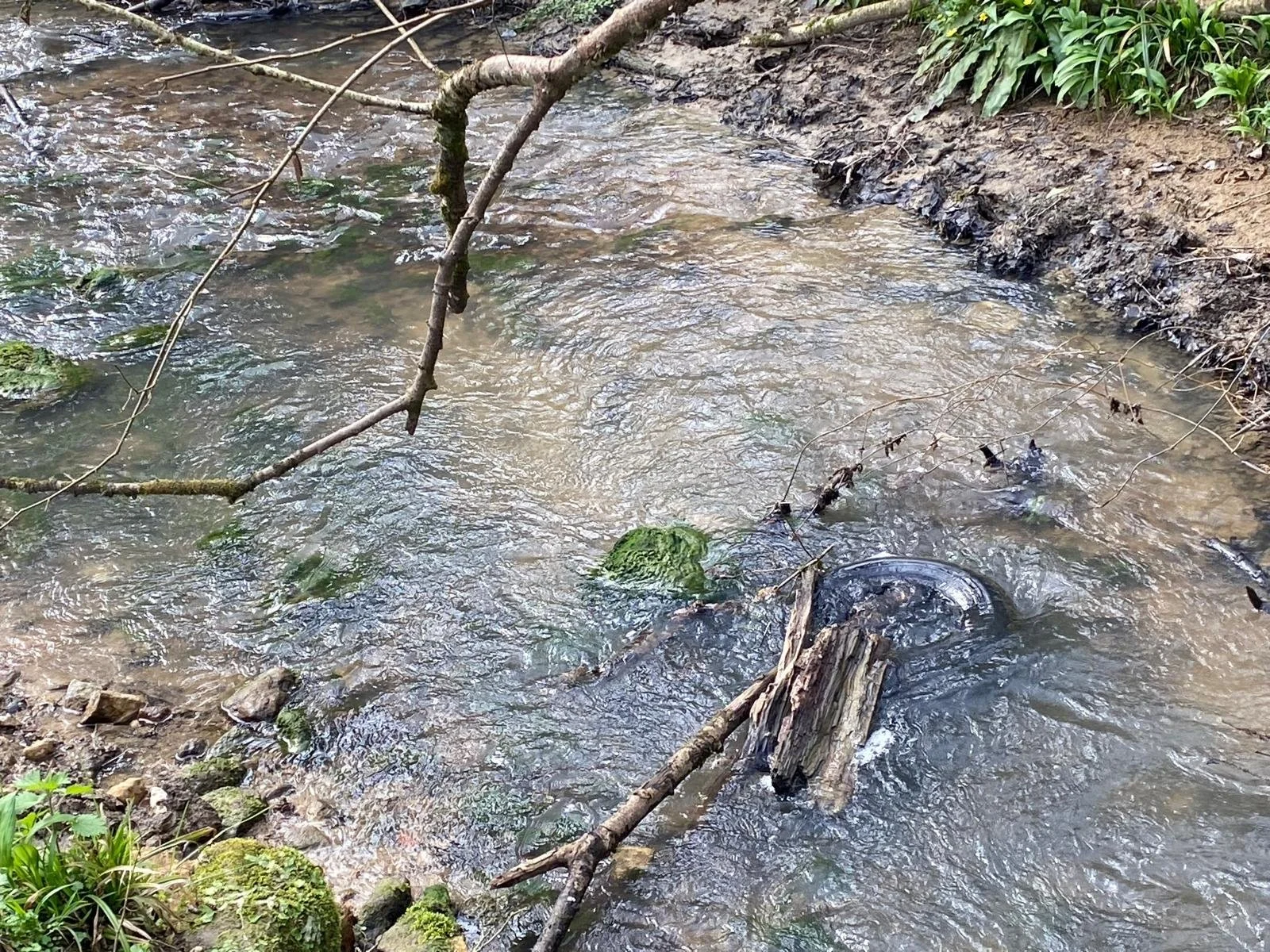
Downstream we stopped to look at the ruins of Ayford Mill and saw the first of two places in this stretch of the valley where tyres had been left in the brook. There were ruins of abandoned cottages, another indicator that a lot more people lived in the valley in the past. Near St Catherine’s Court, we stopped for welcome refreshments (thanks Ed!). Many of the trees alongside the stream are alders. At one time alder from the valley was used by clog makers in the Midlands. These trees have not been managed (coppiced ) as they would have been in the past. Many of them are coming to the end of their natural life, a cause for concern, and we frequently saw trees that had fallen alongside or across the brook.
Continuing downstream we came across a noisy ‘singing’ water trough which Aleks recorded before coming across the site of St Catherine’s Mill where a leat was visible and water cascaded into a mill pond. From here the footpath continued to Oakford Lane and the Wessex Water site where spring water from the valley is collected and treated. Bill took another water sample here and also farther downstream near where the brook enters Northend and close to where the Swinbrook that rises in Chilcombe Bottom joins St Catherine’s Brook. Between the two sampling points, we were treated to a lovely display of Snake’s Head Fritillaries. A final sample was taken at the Batheaston Riverside Car Park close to where the Brook enters the Avon.
It was a memorable way to ‘mark’ the equinox, when day and night are equal, as well as being a great day out and an opportunity to make new friends willing to share their knowledge and experience. We became more aware of the beauty and richness of the area we inhabit. We are sure the ten other participants have their own special memories and story of the walk!
One area for Grow Batheaston and Sustainable Marshfield to work together is the removal of Himalayan Balsam from the St. Catherine’s Brook catchment.
Watch this space for others!
Alison and Steve Harper